Color
N/A
Condition
Excellent
Material
paper
Place of production
France
Payment methods (4)
Shipping Methods (3)
Description
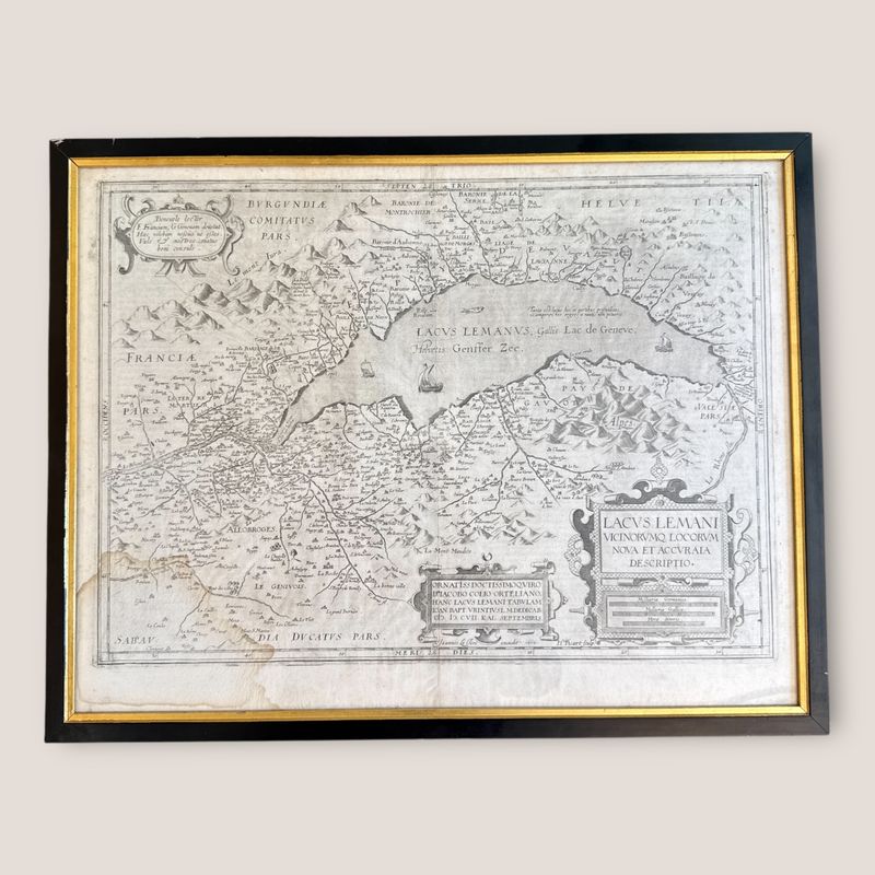
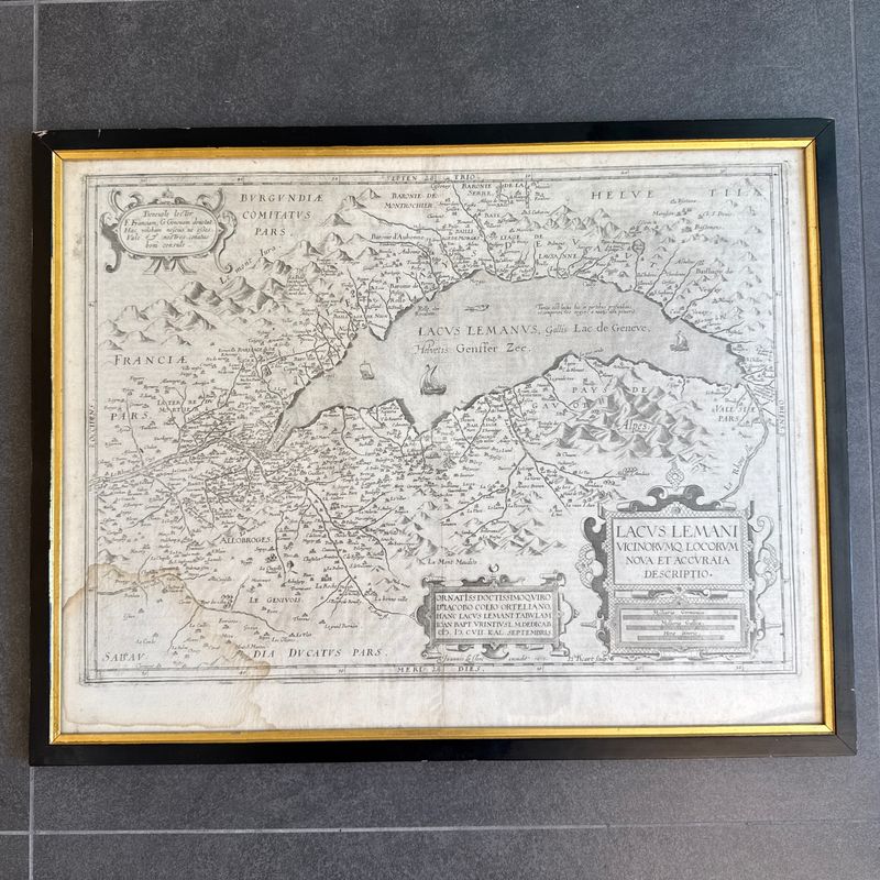
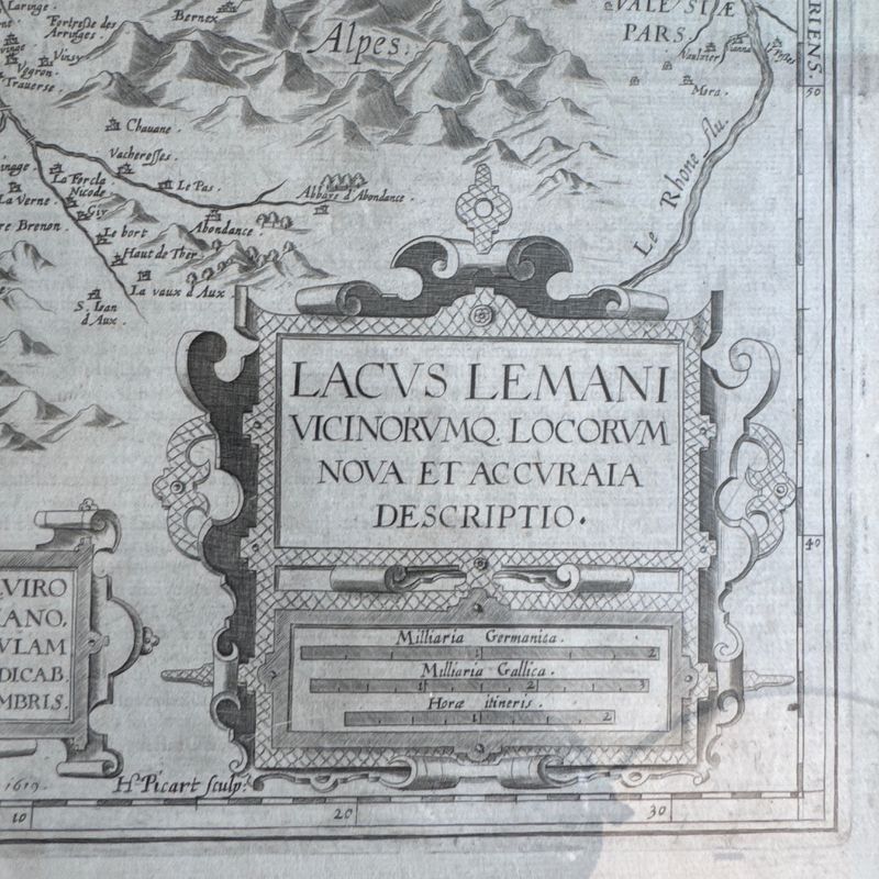
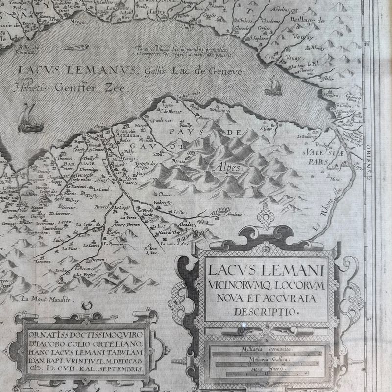
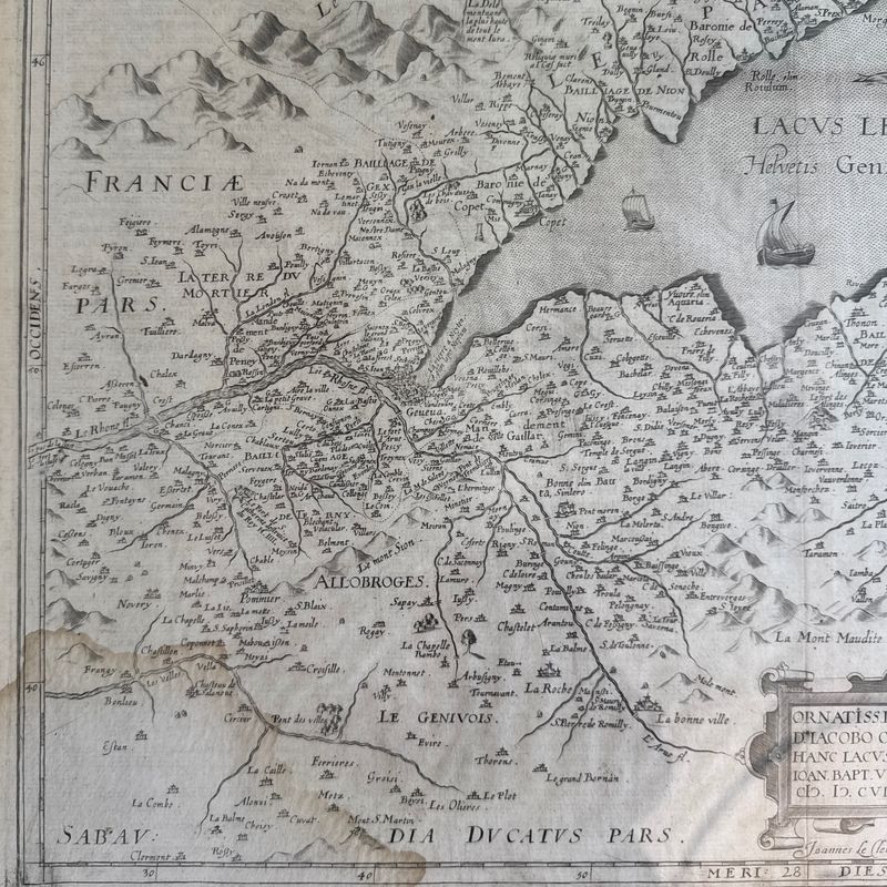
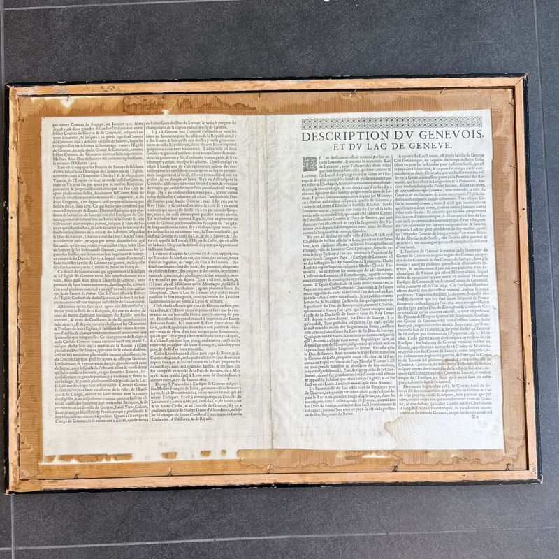
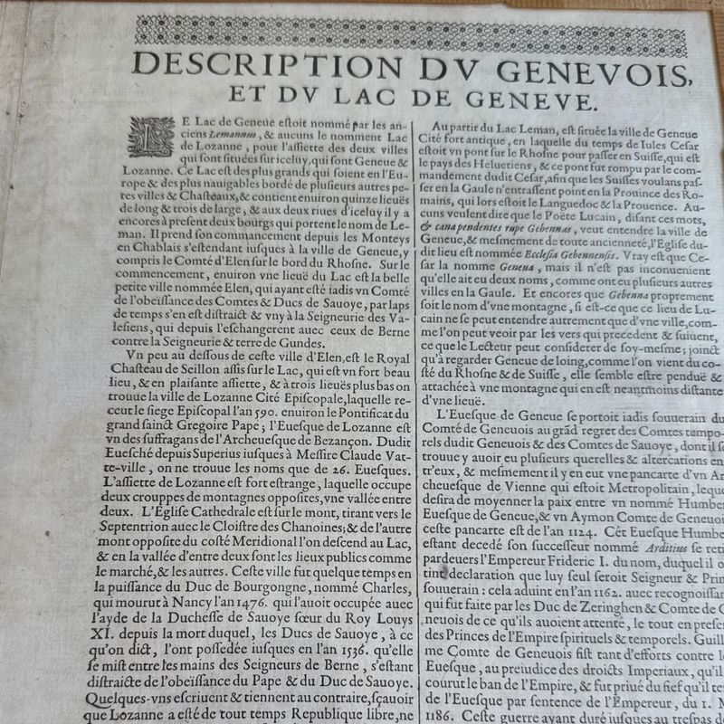
Map of Lake Geneva from the Jean Le Clerc Atlas circa 1635, plate engraved in 1619, d'après Ortelius , circa 1608-1612 Text in French on the reverse. Frame measures 57x45 cm. Double sided glass, transparent on both sides. Humidity stain on the bottom left corner, otherwise excellent condition. Inventory: 6000D253N83
Description
Map of Lake Geneva from the Jean Le Clerc Atlas circa 1635, plate engraved in 1619, d'après Ortelius , circa 1608-1612
Text in French on the reverse.
Frame measures 57x45 cm. Double sided glass, transparent on both sides.
Humidity stain on the bottom left corner, otherwise excellent condition.
Inventory: 6000D253N83
Cookie notice
This website uses cookies. Please accept them for an optimal browsing experience. More information in our Terms & Conditions.