Color
N/A
Condition
Excellent
Material
paper
Place of production
France
Payment methods (2)
Bank transfer
Shipping Methods (3)
Switzerland - CHF 20,00
Description
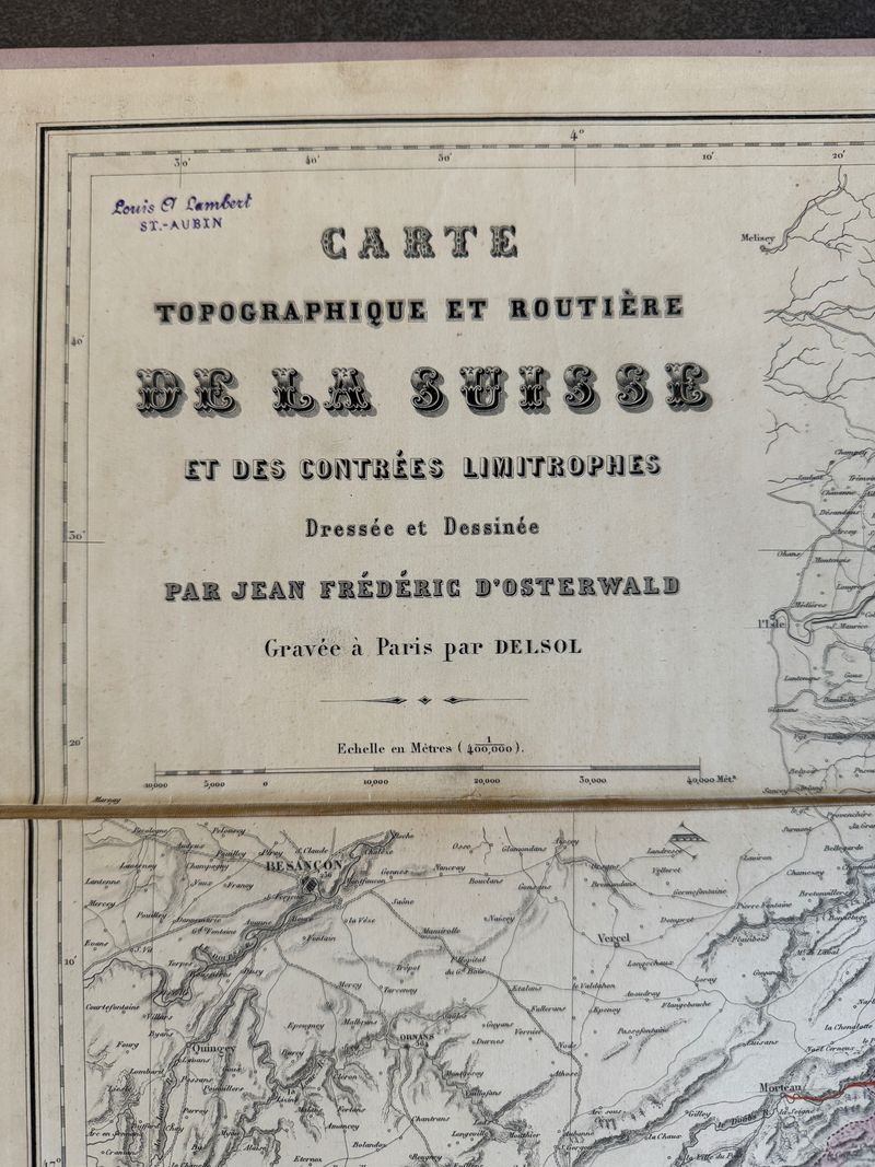
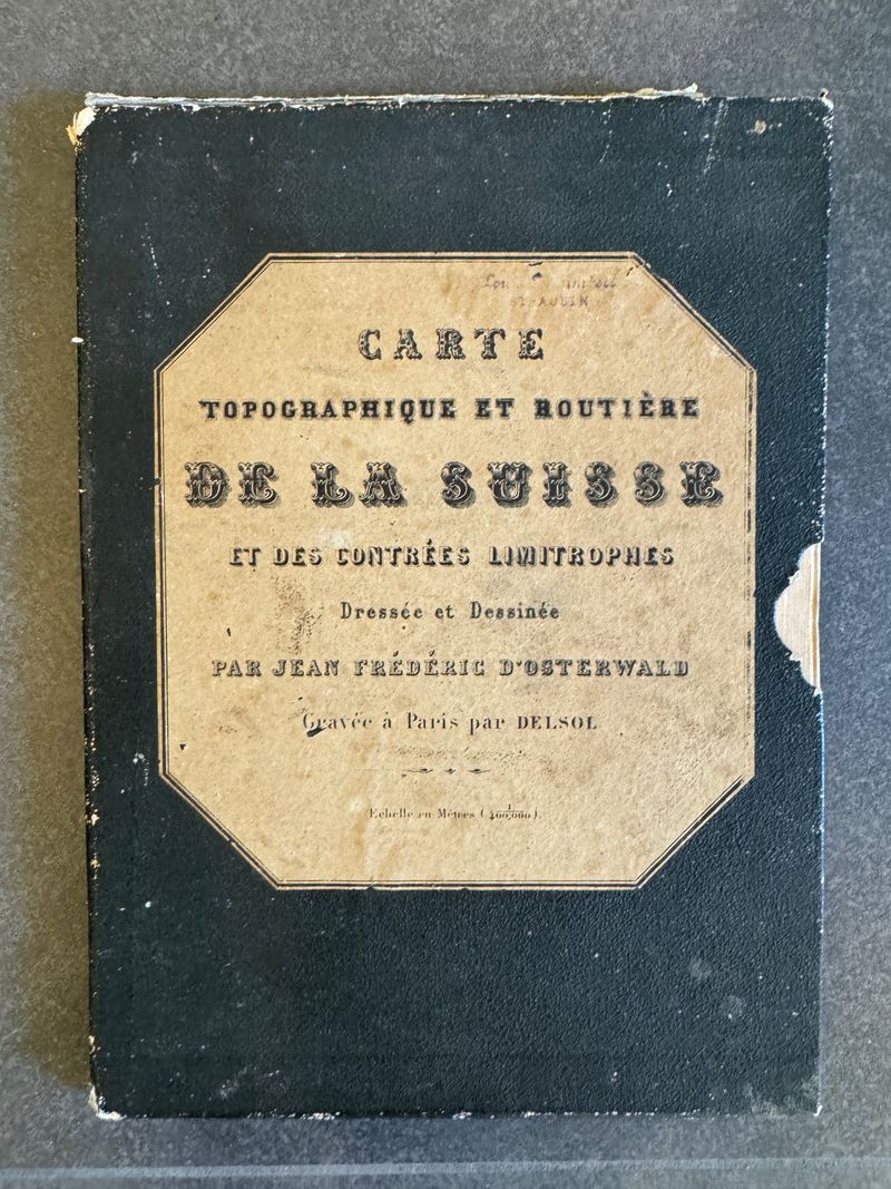
Topographical and road map of Switzerland and neighbouring countries, drawn by Jean Frédéric d'Osterwald. Engraved in Paris by Delsol. Circa 1850 Paris, France. Imprimerie de L.Martinet, rue Mignon, 2. 79 x 96 cm
Description
Topographical and road map of Switzerland and neighbouring countries, drawn by Jean Frédéric d'Osterwald. Engraved in Paris by Delsol.
Circa 1850
Paris, France. Imprimerie de L.Martinet, rue Mignon, 2.
79 x 96 cm
Cookie notice
This website uses cookies. Please accept them for an optimal browsing experience. More information in our Terms & Conditions.


