Color
N/A
Condition
Excellent
Material
N/A
Place of production
Nuremberg
Payment methods (2)
Shipping Methods (2)
Description
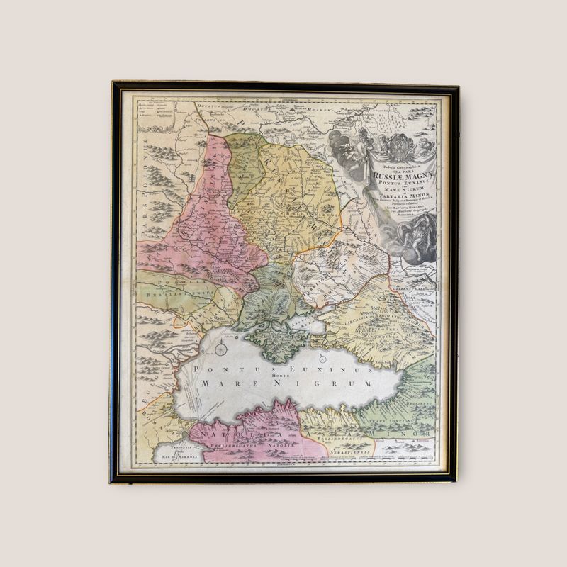
Tabula Geographica Qua Pars Russiae Magnae Pontus Euxinus seu Mare Nigrum et Tauriae Regnum cum finitimis Bulgariae, Romaniae et Natoliae Provinciis exhibentur. Nuremberg, Germany: 1720. 53.5 x 62.5 cm Some damage on the frame, the map is in good condition.
Description
Tabula Geographica Qua Pars Russiae Magnae Pontus Euxinus seu Mare Nigrum et Tauriae Regnum cum finitimis Bulgariae, Romaniae et Natoliae Provinciis exhibentur.
Nuremberg, Germany: 1720.
53.5 x 62.5 cm
Some damage on the frame, the map is in good condition.
Cookie notice
This website uses cookies. Please accept them for an optimal browsing experience. More information in our Terms & Conditions.


