Color
N/A
Condition
Used
Material
paper
Place of production
Holland
Payment methods (3)
Shipping Methods (3)
Description
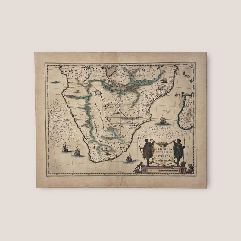
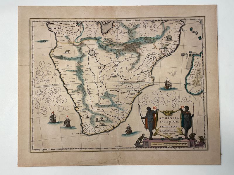
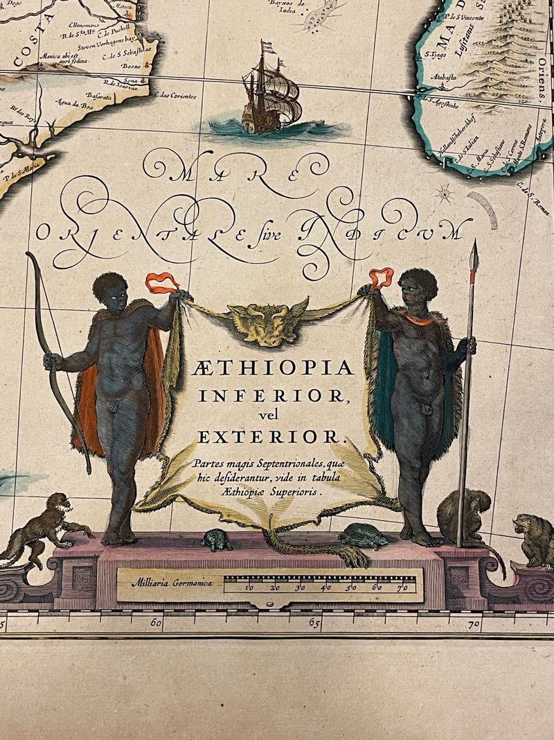
A very decorative, large map of South Africa, which became the standard delineation of the region throughout the 17th century. The lake from which the ‘Zambere’ (the Zambesi) originates is probably delineated based on reports of Lake Ngami, that remained undiscovered until 1849. At the time circa 20 miles long, it is today only marshland. The interior is filled with indigenous animals and ships sail the sea. The large title cartouche is drawn on an ox hide held up by natives, with monkeys and turtles at their feet. 1635 Edition by Willem and Joan Blaeu 45.5 x 56.5 cm Mounted on cardboard Ripped on the left side
Description
A very decorative, large map of South Africa, which became the standard delineation of the region throughout the 17th century. The lake from which the ‘Zambere’ (the Zambesi) originates is probably delineated based on reports of Lake Ngami, that remained undiscovered until 1849. At the time circa 20 miles long, it is today only marshland.
The interior is filled with indigenous animals and ships sail the sea. The large title cartouche is drawn on an ox hide held up by natives, with monkeys and turtles at their feet.
1635 Edition by Willem and Joan Blaeu
45.5 x 56.5 cm
Mounted on cardboard
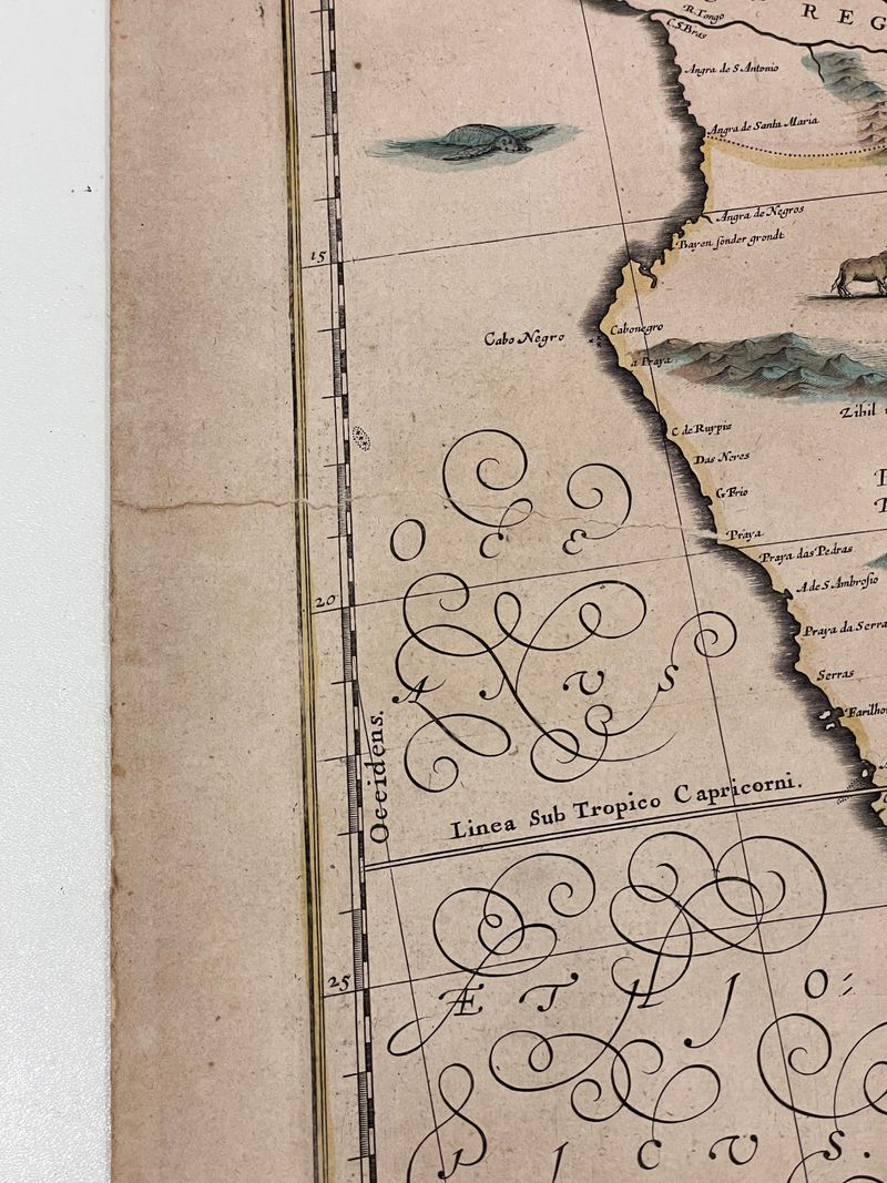
Ripped on the left side
Cookie notice
This website uses cookies. Please accept them for an optimal browsing experience. More information in our Terms & Conditions.


